Configure Latitude And Longitude Coordinates In 23degrees
This tutorial guides you through configuring latitude and longitude coordinates within the 23degrees application.
When creating a coordinate based multimap the first question that you are going to ask yourself is, what type of coordinates do i need? Quick answer: the 23degrees multimap requires wgs84 or mercator coordinates for displaying coordinates on the map.
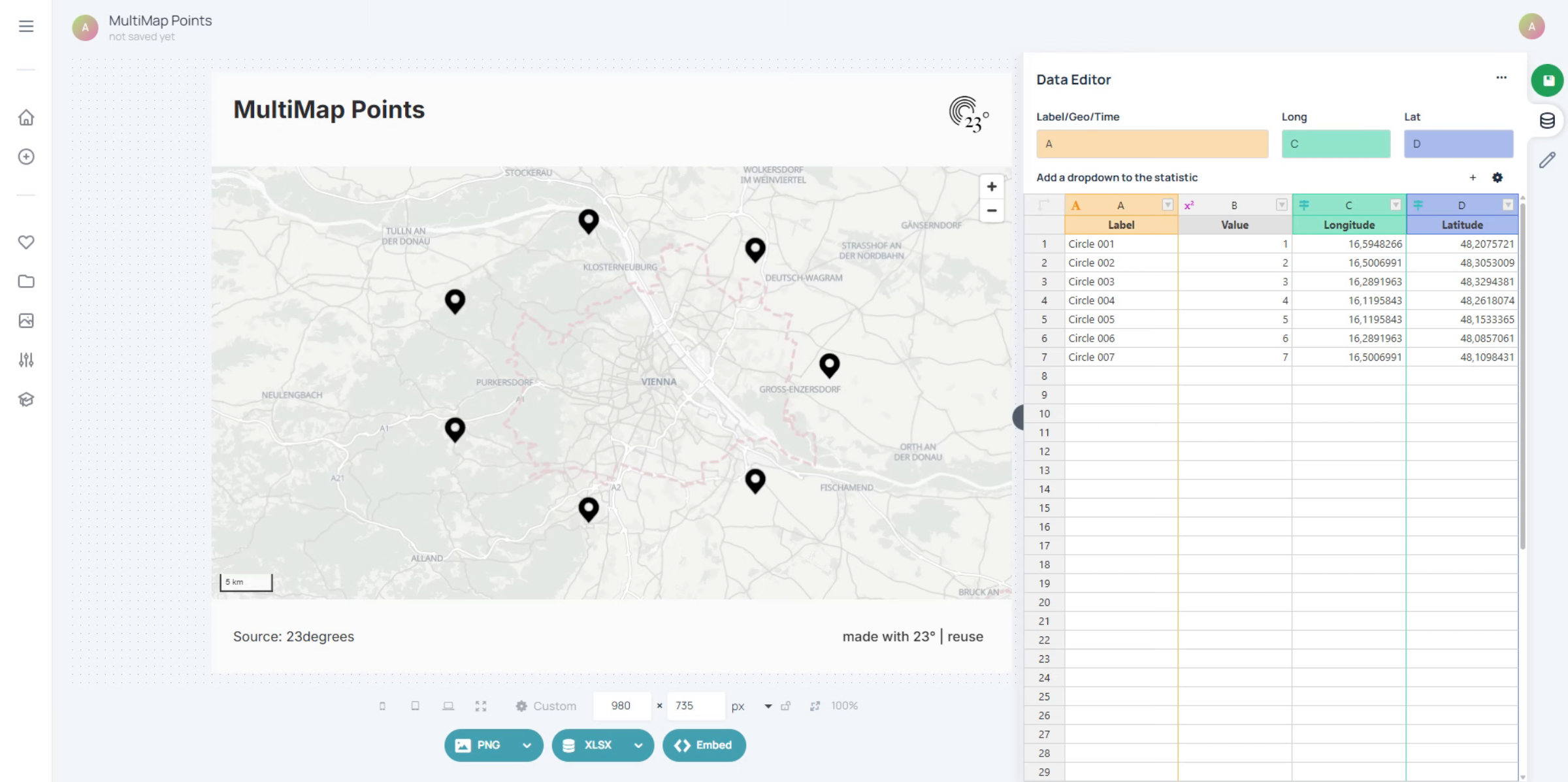
You are going to need one column with the longitude. The longitude tells you how far something is east or west from Greenwich in London in degrees.
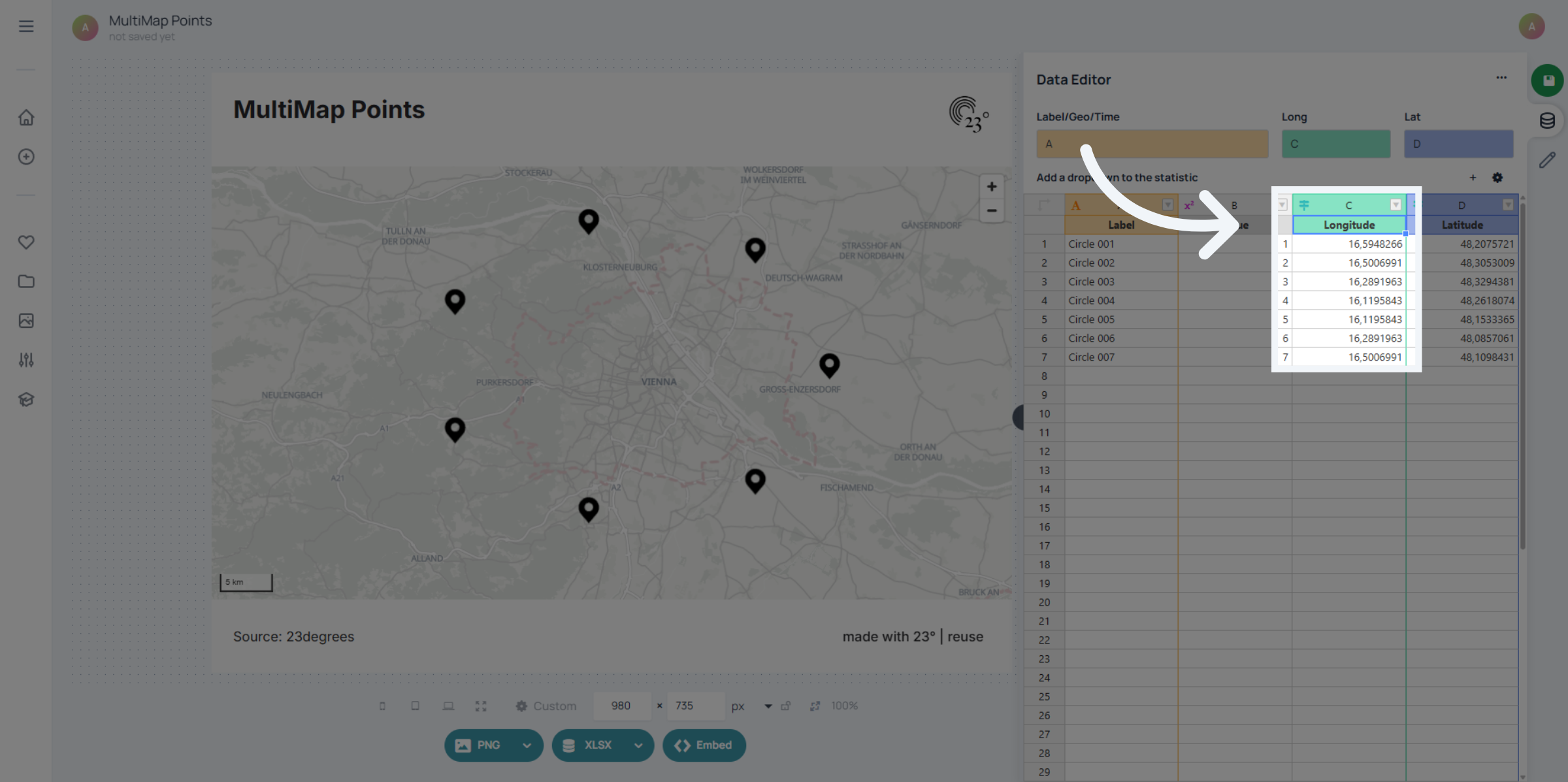
And you are going to need a column with the latitude of your points. The latitude tells you how far something north or south of the equator is.
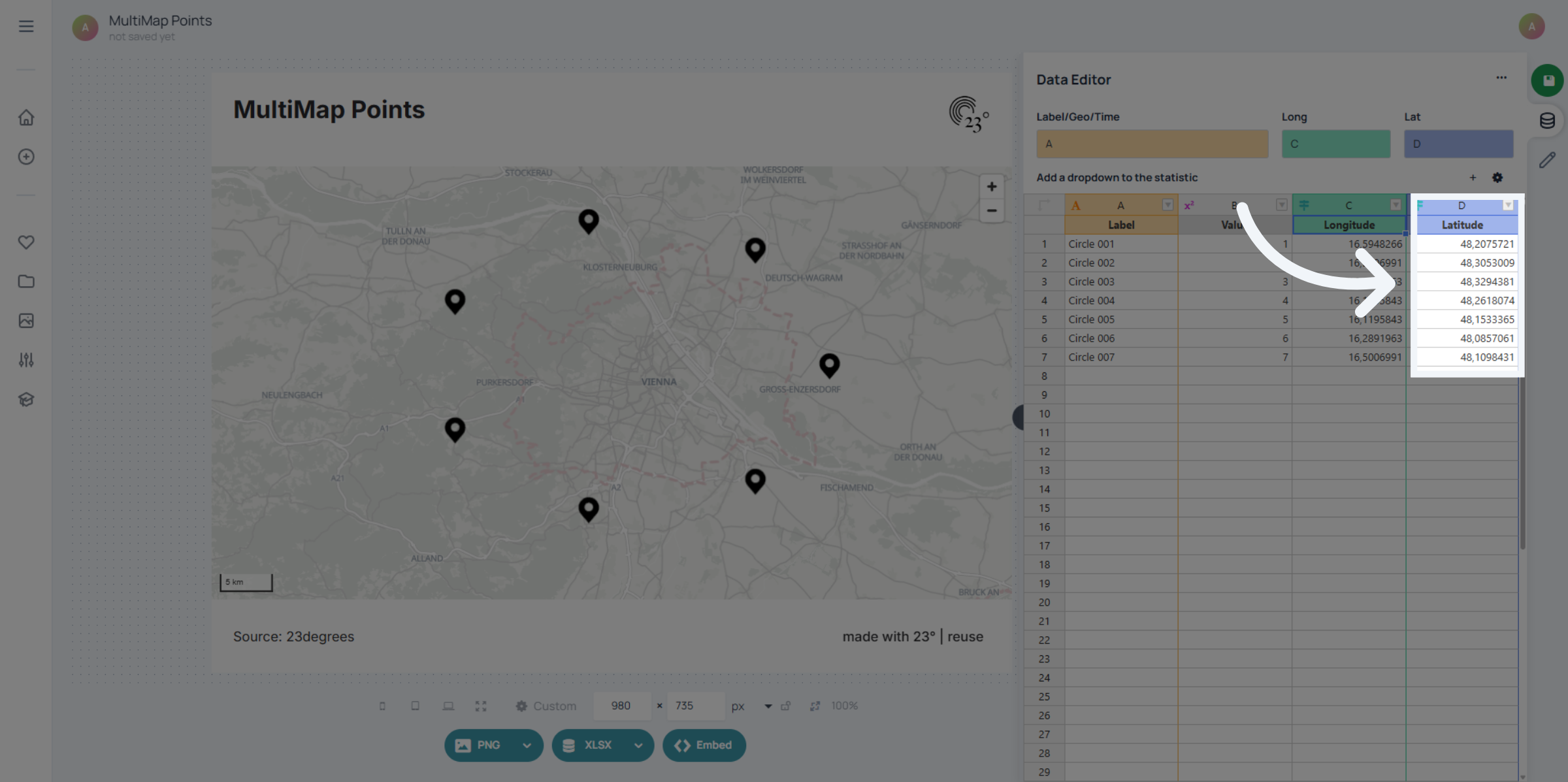
Normally when uploading the data the coordinates will be matched automatically. If you still need to define the columns manually you can do it here by typing the column Index into the fields.
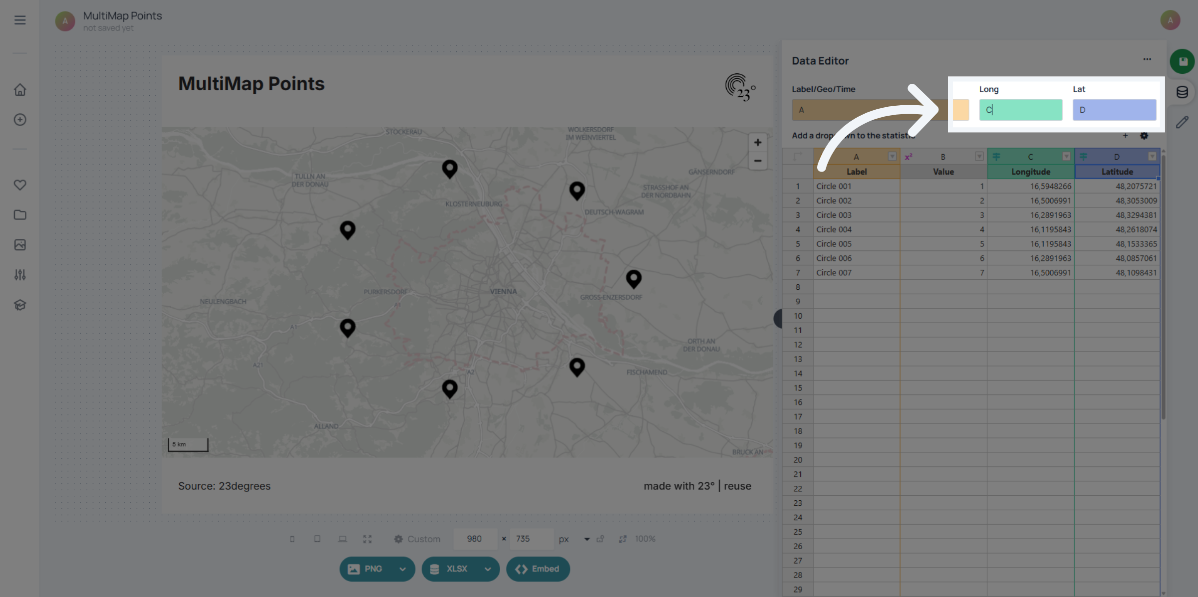
You have successfully configured the latitude and longitude coordinates by selecting the appropriate fields and options in the 23degrees application. This completes the coordinate setup process for your multimap.